
Red River topographic map
Interactive map
Click on the map to display elevation.
About this map
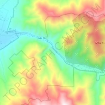
Name: Red River topographic map, elevation, terrain.
Average elevation: 2,680 m
Minimum elevation: 2,249 m
Maximum elevation: 3,288 m
Other topographic maps
Click on a map to view its topography, its elevation and its terrain.
White Sands
United States of America > New Mexico > White Sands > White Sands
Average elevation: 1,294 m
New Mexico State University
United States of America > New Mexico > New Mexico State University
Average elevation: 1,203 m