
Altona Lagoon topographic map
Interactive map
Click on the map to display elevation.
About this map
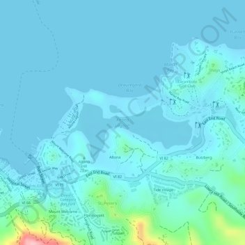
Name: Altona Lagoon topographic map, elevation, terrain.
Average elevation: 19 m
Minimum elevation: -1 m
Maximum elevation: 170 m
Other topographic maps
Click on a map to view its topography, its elevation and its terrain.
Hams Bluff
United States of America > United States Virgin Islands
Hams Bluff, Scenic Road, Saint Croix District, United States Virgin Islands, 00840, United States of America
Average elevation: 42 m