
Hinggan topographic map
Interactive map
Click on the map to display elevation.
About this map
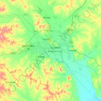
Name: Hinggan topographic map, elevation, terrain.
Location: Hinggan, Ulanhot City, Hinggan League, Inner Mongolia, China (45.90701 121.88797 46.22701 122.20797)
Average elevation: 328 m
Minimum elevation: 231 m
Maximum elevation: 563 m