
Libertador San Martín topographic map
Interactive map
Click on the map to display elevation.
About this map
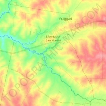
Name: Libertador San Martín topographic map, elevation, terrain.
Average elevation: 62 m
Minimum elevation: 21 m
Maximum elevation: 101 m
Other topographic maps
Click on a map to view its topography, its elevation and its terrain.
Aldea Valle María
Argentina > Entre Ríos > Distrito Palmar
Aldea Valle María, Distrito Palmar, Departamento Diamante, Entre Ríos, Argentina
Average elevation: 62 m