
Deshler topographic map
Interactive map
Click on the map to display elevation.
About this map
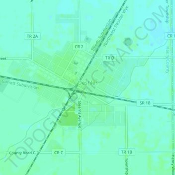
Name: Deshler topographic map, elevation, terrain.
Location: Deshler, Henry County, Ohio, United States of America (41.19490 -83.92010 41.21869 -83.89113)
Average elevation: 216 m
Minimum elevation: 212 m
Maximum elevation: 220 m