
Arden Hills topographic map
Interactive map
Click on the map to display elevation.
About this map
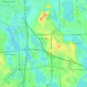
Name: Arden Hills topographic map, elevation, terrain.
Location: Arden Hills, Ramsey County, Minnesota, United States (45.03572 -93.18856 45.10807 -93.14696)
Average elevation: 280 m
Minimum elevation: 263 m
Maximum elevation: 329 m