
Jabal Gumbiri topographic map
Interactive map
Click on the map to display elevation.
About this map
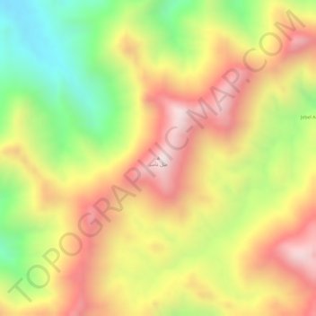
Name: Jabal Gumbiri topographic map, elevation, terrain.
Location: Jabal Gumbiri, Sinkat District, Red Sea State, Sudan (19.32845 36.66665 19.32855 36.66675)
Average elevation: 1,158 m
Minimum elevation: 804 m
Maximum elevation: 1,441 m
Other topographic maps
Click on a map to view its topography, its elevation and its terrain.
Samat
Sudan > Red Sea State > Sinkat District
Samat, Sinkat, Sinkat District, Red Sea State, Sudan
Average elevation: 918 m