
Achabal topographic map
Interactive map
Click on the map to display elevation.
About this map
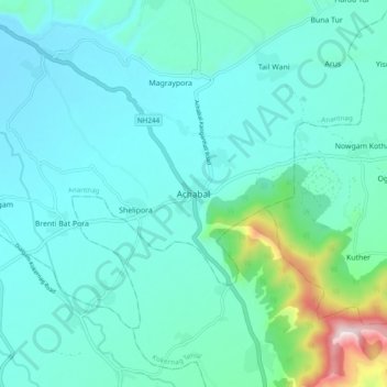
Name: Achabal topographic map, elevation, terrain.
Average elevation: 1,714 m
Minimum elevation: 1,608 m
Maximum elevation: 2,307 m
Achabal is located at 33°41′N 75°14′E / 33.68°N 75.23°E / 33.68; 75.23. It has an average elevation of 1936 metres (6352 feet) above mean sea level.