
Tanjung Uma topographic map
Interactive map
Click on the map to display elevation.
About this map
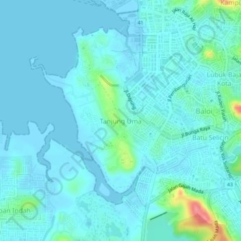
Name: Tanjung Uma topographic map, elevation, terrain.
Location: Tanjung Uma, Batam City, Riau Islands, 29432, Indonesia (1.11399 103.97990 1.15399 104.01990)
Average elevation: 11 m
Minimum elevation: -1 m
Maximum elevation: 87 m