
Uriangato topographic map
Interactive map
Click on the map to display elevation.
About this map
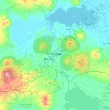
Name: Uriangato topographic map, elevation, terrain.
Location: Uriangato, Guanajuato, 38980, México (19.97803 -101.33697 20.29803 -101.01697)
Average elevation: 1,917 m
Minimum elevation: 1,725 m
Maximum elevation: 2,823 m