
Sarua topographic map
Interactive map
Click on the map to display elevation.
About this map
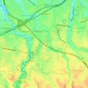
Name: Sarua topographic map, elevation, terrain.
Location: Sarua, South Tangerang, Banten, 15414, Indonesia (-6.33162 106.69206 -6.29162 106.73206)
Average elevation: 46 m
Minimum elevation: 26 m
Maximum elevation: 62 m