
Chitral topographic map
Interactive map
Click on the map to display elevation.
About this map
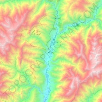
Name: Chitral topographic map, elevation, terrain.
Location: Chitral, Chitrāl District, Khyber Pakhtunkhwa, Pakistan (35.81089 71.75019 35.89089 71.83019)
Average elevation: 2,047 m
Minimum elevation: 1,436 m
Maximum elevation: 3,161 m
The city has an average elevation of 1,500 m (4,921 ft).