
Platte County topographic map
Interactive map
Click on the map to display elevation.
About this map
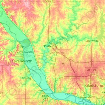
Name: Platte County topographic map, elevation, terrain.
Location: Platte County, Missouri, USA (39.15309 -95.10334 39.53349 -94.60077)
Average elevation: 276 m
Minimum elevation: 221 m
Maximum elevation: 359 m
Other topographic maps
Click on a map to view its topography, its elevation and its terrain.
College Heights
College Heights, Hannibal, Marion County, Missouri, 63401, USA
Average elevation: 193 m
Jordan Valley Park
USA > Missouri > Springfield
Jordan Valley Park, Springfield, Greene County, Missouri, USA
Average elevation: 402 m