
Green Island topographic map
Interactive map
Click on the map to display elevation.
About this map
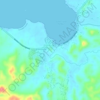
Name: Green Island topographic map, elevation, terrain.
Location: Green Island, Hanover, Cornwall County, Jamaica (18.38337 -78.28013 18.39155 -78.27232)
Average elevation: 15 m
Minimum elevation: -2 m
Maximum elevation: 84 m