
Upper Macungie Township topographic map
Interactive map
Click on the map to display elevation.
About this map
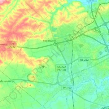
Name: Upper Macungie Township topographic map, elevation, terrain.
Location: Upper Macungie Township, Lehigh County, Pennsylvania, USA (40.51773 -75.69431 40.62074 -75.55138)
Average elevation: 153 m
Minimum elevation: 101 m
Maximum elevation: 261 m