
Rowlestown topographic map
Interactive map
Click on the map to display elevation.
About this map
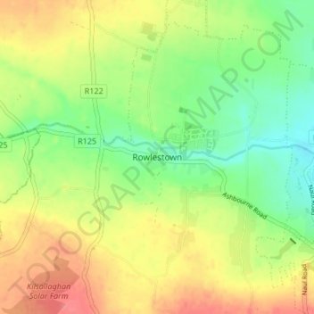
Name: Rowlestown topographic map, elevation, terrain.
Location: Rowlestown, Fingal, County Dublin, Leinster, Ireland (53.46802 -6.32439 53.50802 -6.28439)
Average elevation: 49 m
Minimum elevation: 19 m
Maximum elevation: 82 m