
Rubiá topographic map
Interactive map
Click on the map to display elevation.
About this map
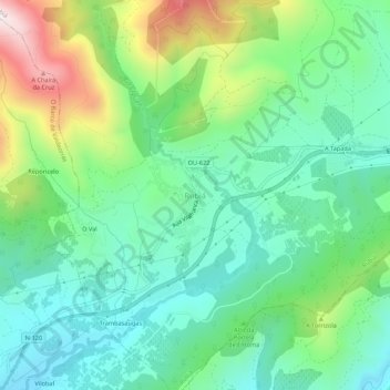
Name: Rubiá topographic map, elevation, terrain.
Location: Rubiá, Valdeorras, Ourense, Galicia, 32310, Spain (42.42945 -6.96507 42.46945 -6.92507)
Average elevation: 573 m
Minimum elevation: 361 m
Maximum elevation: 1,072 m