
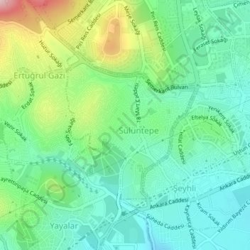
Sülüntepe Mahallesi topographic map
Interactive map
Click on the map to display elevation.
About this map
Name: Sülüntepe Mahallesi topographic map, elevation, terrain.
Location: Sülüntepe Mahallesi, Pendik, Istanbul, Marmara Region, Turkey (40.90562 29.26751 40.92160 29.28632)
Average elevation: 170 m
Minimum elevation: 90 m
Maximum elevation: 362 m
Other topographic maps
Click on a map to view its topography, its elevation and its terrain.
Velibaba Mahallesi
Velibaba Mahallesi, Pendik, Istanbul, Marmara Region, 34896, Turkey
Average elevation: 181 m
Güzelyalı Mahallesi
Güzelyalı Mahallesi, Pendik, Istanbul, Marmara Region, Turkey
Average elevation: 19 m