
Tanami East topographic map
Interactive map
Click on the map to display elevation.
About this map
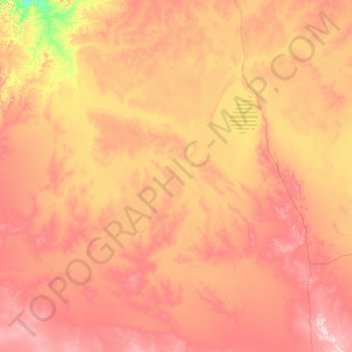
Name: Tanami East topographic map, elevation, terrain.
Location: Tanami East, Barkly Region, Northern Territory, Australia (-20.39298 131.64607 -16.58321 133.97087)
Average elevation: 264 m
Minimum elevation: 93 m
Maximum elevation: 558 m