
Tindouf topographic map
Interactive map
Click on the map to display elevation.
About this map
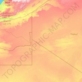
Name: Tindouf topographic map, elevation, terrain.
Location: Tindouf, Daïra Tindouf, Tindouf, Algérie (25.51348 -8.66891 28.92102 -3.98610)
Average elevation: 435 m
Minimum elevation: 0 m
Maximum elevation: 1,322 m