
Bad Salzungen topographic map
Interactive map
Click on the map to display elevation.
About this map
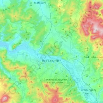
Name: Bad Salzungen topographic map, elevation, terrain.
Location: Bad Salzungen, Wartburgkreis, Thuringia, Germany (50.74188 10.05870 50.90293 10.27599)
Average elevation: 339 m
Minimum elevation: 228 m
Maximum elevation: 719 m