
Enrekang topographic map
Interactive map
Click on the map to display elevation.
About this map
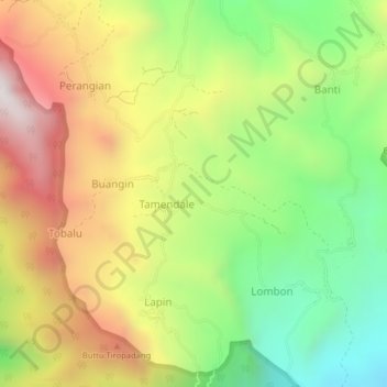
Name: Enrekang topographic map, elevation, terrain.
Location: Enrekang, Tamendale, South Sulawesi, Indonesia (-4.48801 118.86585 -2.48801 120.86585)
Average elevation: 372 m
Minimum elevation: -3 m
Maximum elevation: 3,404 m