
Mountaineer Glacier topographic map
Interactive map
Click on the map to display elevation.
About this map
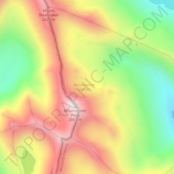
Name: Mountaineer Glacier topographic map, elevation, terrain.
Location: Mountaineer Glacier, Missoula, United States of America (47.34238 -113.87987 47.34248 -113.87977)
Average elevation: 2,364 m
Minimum elevation: 1,900 m
Maximum elevation: 2,810 m
Other topographic maps
Click on a map to view its topography, its elevation and its terrain.
Gray Wolf Glacier
United States of America > Missoula
Gray Wolf Glacier, Missoula, United States of America
Average elevation: 2,299 m
Sunrise Glacier
United States of America > Missoula
Sunrise Glacier, Missoula, United States of America
Average elevation: 2,377 m
Fissure Glacier
United States of America > Missoula
Fissure Glacier, Missoula, United States of America
Average elevation: 2,429 m