
Nam Fung Chau topographic map
Interactive map
Click on the map to display elevation.
About this map
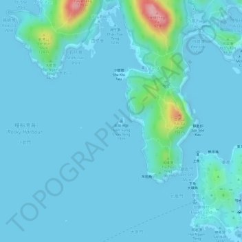
Name: Nam Fung Chau topographic map, elevation, terrain.
Location: Nam Fung Chau, Tung A, Sai Kung District, Hong Kong, PRC (22.34187 114.35145 22.34278 114.35227)
Average elevation: 15 m
Minimum elevation: -8 m
Maximum elevation: 159 m
Other topographic maps
Click on a map to view its topography, its elevation and its terrain.
Tong Hau Pai
Tong Hau Pai, Tung A, Sai Kung District, Hong Kong, PRC
Average elevation: 12 m
Lung Shuen Pai
Lung Shuen Pai, Tung A, Sai Kung District, Hong Kong, PRC
Average elevation: 5 m