
Newberry County topographic map
Interactive map
Click on the map to display elevation.
About this map
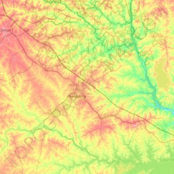
Name: Newberry County topographic map, elevation, terrain.
Location: Newberry County, South Carolina, United States (34.07083 -81.94524 34.53005 -81.31713)
Average elevation: 136 m
Minimum elevation: 65 m
Maximum elevation: 240 m
Other topographic maps
Click on a map to view its topography, its elevation and its terrain.
Troy
United States > South Carolina > Greenwood County
Troy, Greenwood County, South Carolina, United States
Average elevation: 157 m