
Kong Tau Pai topographic map
Interactive map
Click on the map to display elevation.
About this map
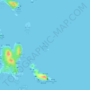
Name: Kong Tau Pai topographic map, elevation, terrain.
Location: Kong Tau Pai, Pak Lap, Sai Kung District, Hong Kong, PRC (22.33851 114.37448 22.33932 114.37578)
Average elevation: 2 m
Minimum elevation: -6 m
Maximum elevation: 63 m
Other topographic maps
Click on a map to view its topography, its elevation and its terrain.
Wong Nai Chau
Wong Nai Chau, Pak Lap, Sai Kung District, Hong Kong, PRC
Average elevation: 15 m