Geolocate

Mount Helen topographic map

Interactive map

Click on the map to display elevation.

About this map

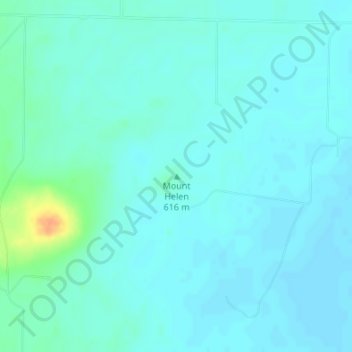
Name: Mount Helen topographic map, elevation, terrain.

Location: Mount Helen, Clark County, Kansas, 67840, USA (37.02276 -100.02880 37.02286 -100.02870)

Average elevation: 611 m

Minimum elevation: 605 m

Maximum elevation: 642 m

Other topographic maps

Click on a map to view its topography, its elevation and its terrain.

Topeka

USA > Kansas > Topeka

Topeka, Shawnee County, Kansas, USA

Average elevation: 302 m

Graham County

USA > Kansas

Graham County, Kansas, USA

Average elevation: 720 m

Wichita

USA > Kansas > Wichita

Wichita, Sedgwick County, Kansas, USA

Average elevation: 408 m

Seward County

USA > Kansas

Seward County, Kansas, USA

Average elevation: 866 m

Grant County

USA > Kansas

Grant County, Kansas, 67880, USA

Average elevation: 934 m

Neosho County

USA > Kansas

Neosho County, Kansas, USA

Average elevation: 290 m