
Tandjung Puting topographic map
Interactive map
Click on the map to display elevation.
About this map
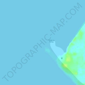
Name: Tandjung Puting topographic map, elevation, terrain.
Location: Tandjung Puting, Central Kalimantan, Indonesia (-3.50357 111.76732 -3.50347 111.76742)
Average elevation: 1 m
Minimum elevation: 0 m
Maximum elevation: 13 m