
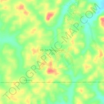
FELDA Tenggaroh 6 topographic map
Interactive map
Click on the map to display elevation.
About this map
Name: FELDA Tenggaroh 6 topographic map, elevation, terrain.
Location: FELDA Tenggaroh 6, Mersing, Johor, Malaysia (2.03672 103.96611 2.07672 104.00611)
Average elevation: 39 m
Minimum elevation: 7 m
Maximum elevation: 75 m