
Vestmannaeyjabær topographic map
Interactive map
Click on the map to display elevation.
About this map
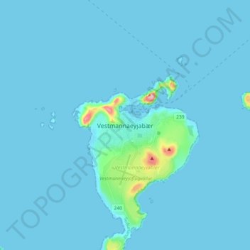
Name: Vestmannaeyjabær topographic map, elevation, terrain.
Location: Vestmannaeyjabær, Southern Region, Iceland (63.40010 -20.31859 63.48010 -20.23859)
Average elevation: 10 m
Minimum elevation: -8 m
Maximum elevation: 243 m