
Kashiwa topographic map
Interactive map
Click on the map to display elevation.
About this map
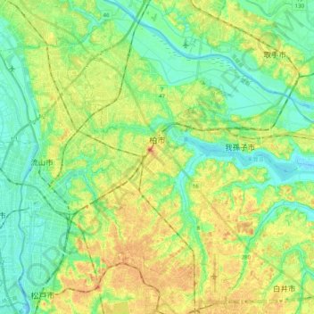
Name: Kashiwa topographic map, elevation, terrain.
Location: Kashiwa, Chiba Prefecture, Kanto, Japan (35.78122 139.91332 35.93585 140.11194)
Average elevation: 17 m
Minimum elevation: -6 m
Maximum elevation: 39 m