
Longmatan District topographic map
Interactive map
Click on the map to display elevation.
About this map
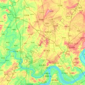
Name: Longmatan District topographic map, elevation, terrain.
Location: Longmatan District, Luzhou City, Sichuan, PRC (28.87149 105.32507 29.07068 105.56315)
Average elevation: 302 m
Minimum elevation: 208 m
Maximum elevation: 421 m