
Kintore topographic map
Interactive map
Click on the map to display elevation.
About this map
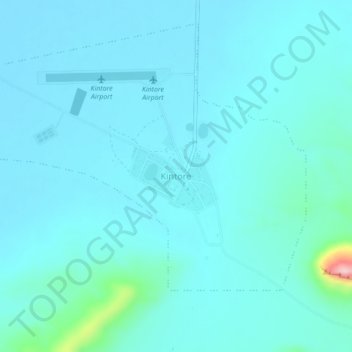
Name: Kintore topographic map, elevation, terrain.
Location: Kintore, Northern Territory, Australia (-23.29591 129.36819 -23.25591 129.40819)
Average elevation: 472 m
Minimum elevation: 448 m
Maximum elevation: 683 m