
Huachinera topographic map
Interactive map
Click on the map to display elevation.
About this map
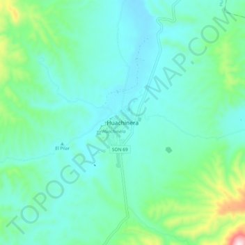
Name: Huachinera topographic map, elevation, terrain.
Location: Huachinera, Sonora, 84400, México (30.16960 -108.99843 30.24960 -108.91843)
Average elevation: 1,174 m
Minimum elevation: 1,063 m
Maximum elevation: 1,653 m