
San Salvador Island topographic map
Interactive map
Click on the map to display elevation.
About this map
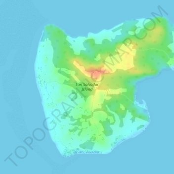
Name: San Salvador Island topographic map, elevation, terrain.
Location: San Salvador Island, Zambales, Central Luzon, Philippines (15.50777 119.90317 15.52959 119.93119)
Average elevation: 8 m
Minimum elevation: 0 m
Maximum elevation: 44 m