
Tieling topographic map
Interactive map
Click on the map to display elevation.
About this map
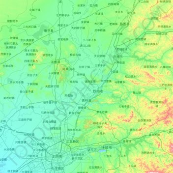
Name: Tieling topographic map, elevation, terrain.
Location: Tieling, Tieling City, Liaoning, PRC (41.67778 123.08527 42.95778 124.36527)
Average elevation: 141 m
Minimum elevation: 18 m
Maximum elevation: 1,008 m
Other topographic maps
Click on a map to view its topography, its elevation and its terrain.
Shenyang City
PRC > Liaoning > Shenyang City
Liaohe Subdistrict, Huanggu District, Shenyang City, Liaoning, PRC
Average elevation: 53 m