
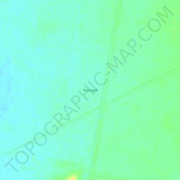
Warregal topographic map
Interactive map
Click on the map to display elevation.
About this map
Name: Warregal topographic map, elevation, terrain.
Location: Warregal, Parkes Shire Council, New South Wales, Australia (-33.23500 148.03111 -33.19500 148.07111)
Average elevation: 263 m
Minimum elevation: 256 m
Maximum elevation: 280 m