
Lumajang topographic map
Interactive map
Click on the map to display elevation.
About this map
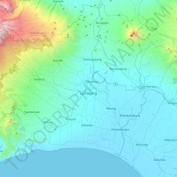
Name: Lumajang topographic map, elevation, terrain.
Location: Lumajang, East Java, Indonesia (-8.35179 112.89994 -7.89604 113.37959)
Average elevation: 537 m
Minimum elevation: 0 m
Maximum elevation: 3,654 m
Other topographic maps
Click on a map to view its topography, its elevation and its terrain.