
Kiwanis Park topographic map
Interactive map
Click on the map to display elevation.
About this map
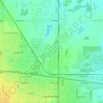
Name: Kiwanis Park topographic map, elevation, terrain.
Location: Kiwanis Park, Lloydminster, Alberta, Canada (53.29134 -110.00881 53.29208 -110.00813)
Average elevation: 647 m
Minimum elevation: 636 m
Maximum elevation: 663 m
Other topographic maps
Click on a map to view its topography, its elevation and its terrain.
Lloydminster
Canada > Alberta > Lloydminster
Lloydminster, Alberta, T9V 0C6, Canada
Average elevation: 641 m