
Kodaira topographic map
Interactive map
Click on the map to display elevation.
About this map
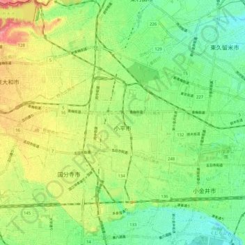
Name: Kodaira topographic map, elevation, terrain.
Location: Kodaira, Tokyo, Kanto, Japan (35.70804 139.42285 35.74586 139.52472)
Average elevation: 77 m
Minimum elevation: 45 m
Maximum elevation: 124 m
Other topographic maps
Click on a map to view its topography, its elevation and its terrain.