
Sölden topographic map
Interactive map
Click on the map to display elevation.
About this map
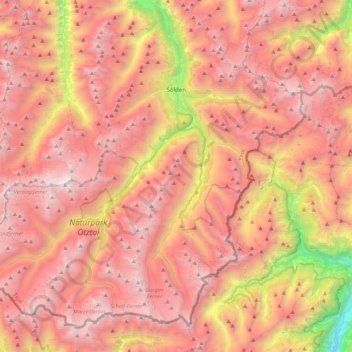
Name: Sölden topographic map, elevation, terrain.
Location: Sölden, Imst, Tyrol, Austria (46.76285 10.72601 47.02239 11.16810)
Average elevation: 2,483 m
Minimum elevation: 499 m
Maximum elevation: 3,721 m