
Altınözü topographic map
Interactive map
Click on the map to display elevation.
About this map
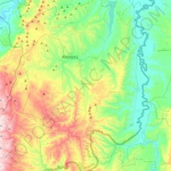
Name: Altınözü topographic map, elevation, terrain.
Location: Altınözü, Hatay, Mediterranean Region, Turkey (35.94949 36.16394 36.19569 36.39033)
Average elevation: 363 m
Minimum elevation: 60 m
Maximum elevation: 987 m
Other topographic maps
Click on a map to view its topography, its elevation and its terrain.