
Åstol topographic map
Interactive map
Click on the map to display elevation.
About this map
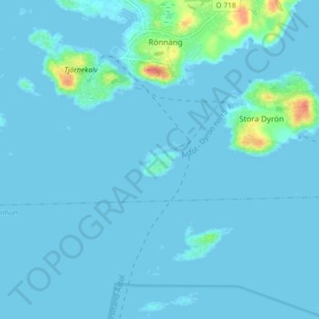
Name: Åstol topographic map, elevation, terrain.
Location: Åstol, Tjörns kommun, Västra Götaland County, 471 44, Sweden (57.90297 11.56531 57.94297 11.60531)
Average elevation: 4 m
Minimum elevation: -1 m
Maximum elevation: 57 m
Other topographic maps
Click on a map to view its topography, its elevation and its terrain.