Kınık topographic map
Interactive map
Click on the map to display elevation.
About this map
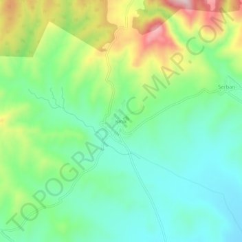
Name: Kınık topographic map, elevation, terrain.
Location: Kınık, Çorum Merkez, Çorum, Black Sea Region, Turkey (40.44404 34.72819 40.48404 34.76819)
Average elevation: 932 m
Minimum elevation: 819 m
Maximum elevation: 1,162 m
Other topographic maps
Click on a map to view its topography, its elevation and its terrain.
Değirmendere
Çorum (Turkish pronunciation: [ˈtʃoɾum]) (Medieval Greek: Ευχάνεια, romanized: Euchaneia) is a northern Anatolian city that is the capital of the Çorum Province of Turkey. Çorum is located inland in the central Black Sea Region of Turkey, and is approximately 244 km (152 mi) from Ankara and 608…
Average elevation: 1,263 m