
Thank you for supporting this site ❤️
Make a donation
Make a donation
Villa Reynolds topographic map
Click on the map to display elevation.
Thank you for supporting this site ❤️
Make a donation
Make a donation
About this map
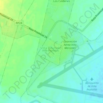
Name: Villa Reynolds topographic map, elevation, terrain.
Location: Villa Reynolds, General Pedernera, San Luis, Argentina (-33.72493 -65.38919 -33.71768 -65.38127)
Average elevation: 488 m
Minimum elevation: 480 m
Maximum elevation: 498 m
Thank you for supporting this site ❤️
Make a donation
Make a donation
Other topographic maps
Click on a map to view its topography, its elevation and its terrain.