
Fürstenwalde/Spree topographic map
Interactive map
Click on the map to display elevation.
About this map
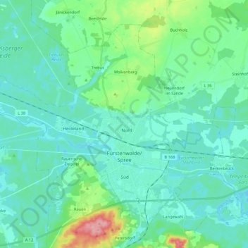
Name: Fürstenwalde/Spree topographic map, elevation, terrain.
Location: Fürstenwalde/Spree, Oder-Spree, Brandenburg, 15517, Germany (52.32267 13.93775 52.42687 14.14951)
Average elevation: 54 m
Minimum elevation: 33 m
Maximum elevation: 148 m
Other topographic maps
Click on a map to view its topography, its elevation and its terrain.