
Thank you for supporting this site ❤️
Make a donation
Make a donation
Indus topographic map
Click on the map to display elevation.
Thank you for supporting this site ❤️
Make a donation
Make a donation
About this map
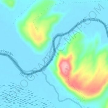
Name: Indus topographic map, elevation, terrain.
Location: Indus, Leh Tehsil, Leh district, Ladakh, India (32.96090 79.21348 32.97171 79.22687)
Average elevation: 4,192 m
Minimum elevation: 4,161 m
Maximum elevation: 4,323 m
Thank you for supporting this site ❤️
Make a donation
Make a donation