
Thank you for supporting this site ❤️
Make a donation
Make a donation
Lac Bowker topographic map
Click on the map to display elevation.
Thank you for supporting this site ❤️
Make a donation
Make a donation
About this map
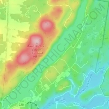
Name: Lac Bowker topographic map, elevation, terrain.
Location: Lac Bowker, Orford, Memphrémagog, Quebec, Canada (45.40133 -72.24143 45.44618 -72.19186)
Average elevation: 344 m
Minimum elevation: 266 m
Maximum elevation: 491 m
Thank you for supporting this site ❤️
Make a donation
Make a donation
Other topographic maps
Click on a map to view its topography, its elevation and its terrain.