
Çakmak Mahallesi topographic map
Interactive map
Click on the map to display elevation.
About this map
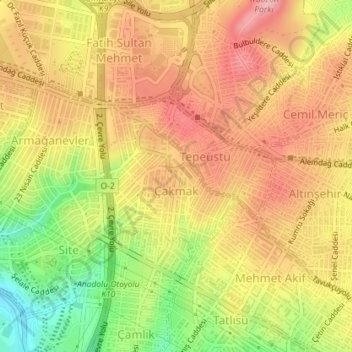
Name: Çakmak Mahallesi topographic map, elevation, terrain.
Average elevation: 130 m
Minimum elevation: 46 m
Maximum elevation: 187 m
Other topographic maps
Click on a map to view its topography, its elevation and its terrain.
Elmalıkent Mahallesi
Elmalıkent Mahallesi, Ümraniye, Istanbul, Marmara Region, Turkey
Average elevation: 124 m