
Soroti topographic map
Interactive map
Click on the map to display elevation.
About this map
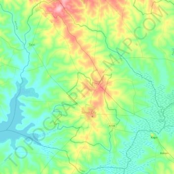
Name: Soroti topographic map, elevation, terrain.
Location: Soroti, Eastern Region, Uganda (1.55831 33.38954 2.02297 33.81517)
Average elevation: 1,071 m
Minimum elevation: 1,032 m
Maximum elevation: 1,185 m